
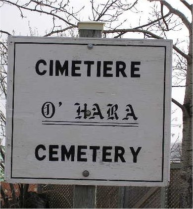
Cimetière O'Hara de Gaspe, Gaspé, Gaspesie-Iles-de-la-Madeleine, Quebec, Canada
Latitude: 48.833191, Longitude: -64.481945 | Cliquer ici pour obtenir les instructions au Cimetière O'Hara de Gaspe
Notes:
2 - Google. Google Earth®. (www.google.ca), USA, 2011. [Atlas-Web].
3 - GeoMart. MyTopo.com, Cartes topographiques du Canada au 1:50000. (www.mytopo.com), USA, 2011. [Atlas-Web].
46 - [Collective]. Waymarking.com - A Groundspeak Website. Waymarking.com, (www.waymarking.com), USA, 2011. [Web site], Consultation date: 19/07/2011.
218 - [Anonymous]. Cemeteries of the Gaspé area. GoGaspe.com, (gogaspe.com), cemetery_list.pdf, Québec, 2013, 2 pages. [PDF Document], Consultation date: 20/08/2013.
709 - Commission de protection du territoire agricole Québec. Cartographie - Géomatique, Application Déméter. (www.cptaq.gouv.qc.ca), 2015., Cadastre / Photos aériennes monochromes [Atlas-Web].